“Flying High In Florida captured our waterfront listing perfectly. The drone shots helped us sell in days, not weeks.”
— Mark R., Crystal River
Real stories from Florida’s sky-high perspectives. (Zoey approves these messages 🐾)
“Flying High In Florida captured our waterfront listing perfectly. The drone shots helped us sell in days, not weeks.”
— Mark R., Crystal River
“Jason & Kathleen delivered gorgeous event footage—crisp, cinematic, and perfectly timed to the music. Crowd went wild.”
— Lisa T., Hernando Beach
“Professional, creative, and fast turnarounds. The aerials gave our listing that ‘Florida wow’ buyers crave.”
— John D., Realtor, Dunnellon
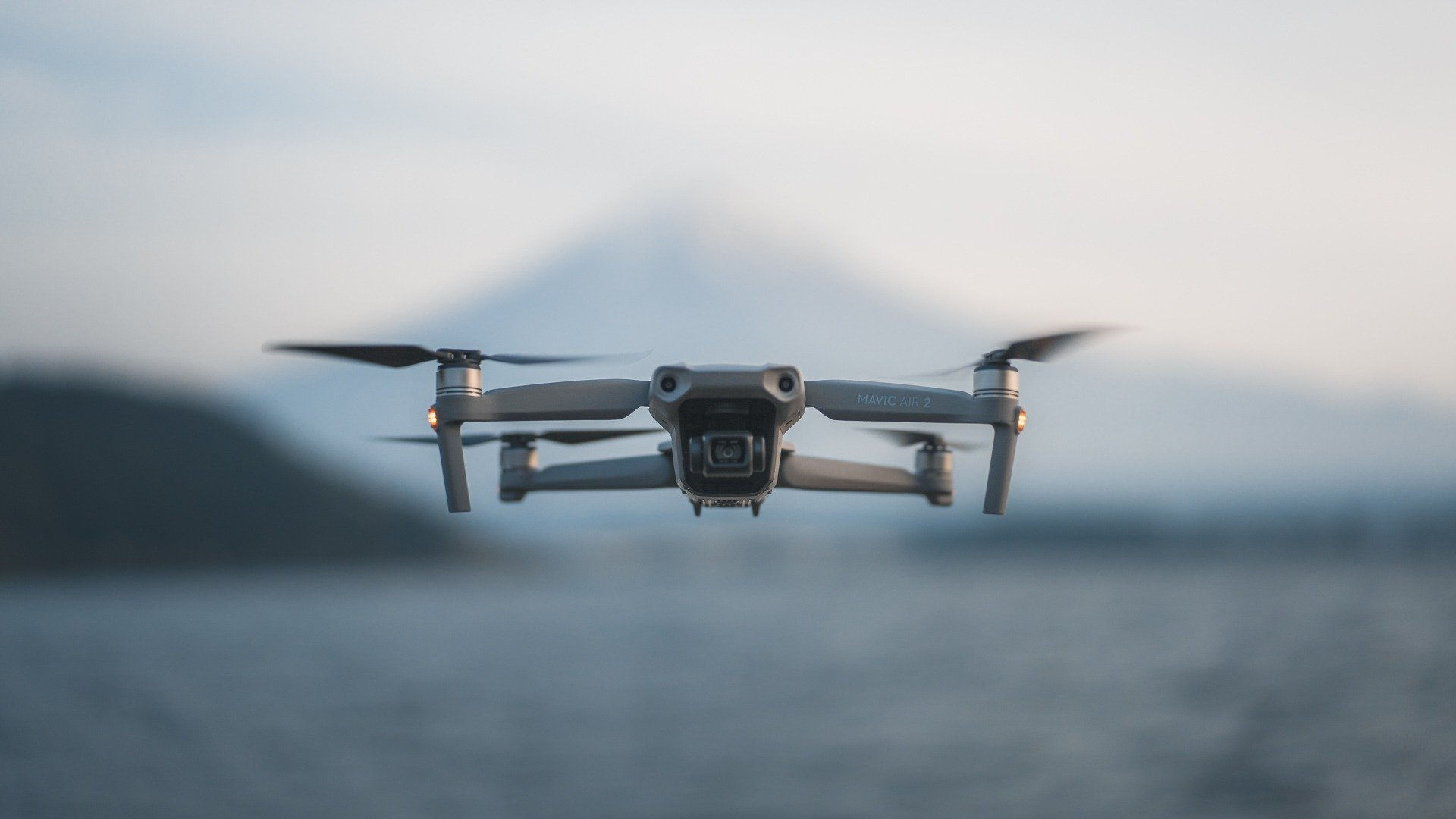
Part 107 certified • Fully insured • Serving Florida’s Nature Coast & beyond


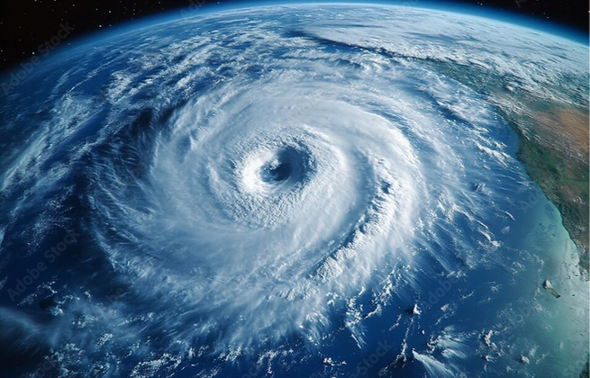

Florida’s hurricane season runs June 1st through November 30th, bringing the potential for severe storms, heavy flooding, and property damage — especially in coastal and low-lying areas.
Whether you're a homeowner, business owner, municipality, or insurance adjuster, preparing for storm season is critical to protecting people, property, and assets.
At Flying High In Florida, our FAA Part 107 certified drone pilots provide vital aerial data before and after storms, helping you document conditions, assess damage, and respond quickly.
High-resolution aerial photos & 4K video of your home, business, or property
Ideal for insurance documentation & peace of mind
Fast flyovers to assess roof damage, flooding, fallen trees, and more
Safe inspections without putting people at risk
Shareable digital reports for homeowners or adjusters
Aerial mapping for large properties, neighborhoods, marinas, or municipal sites
Great for emergency management teams and contractors
Rapid-deployment team available after major storms
Contact us directly to prioritize your location
Safer than sending people into debris zones
Faster & more affordable than traditional inspections
Clear, visual records for insurance claims or legal use
Helpful for community resilience, HOA planning, and public works projects
Don’t wait until it’s too late.
Schedule your pre-storm aerial documentation today or request priority placement for post-storm response.